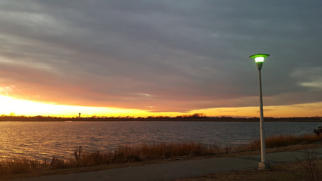
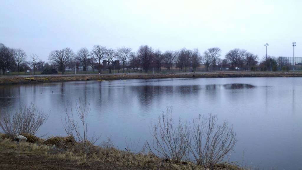
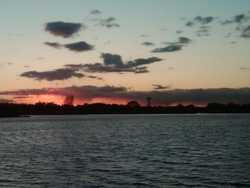
I have a great park near me that has a nice tidal estuary/creek/bay(?) that connects out to Jamaica Bay. It is nice to walk there and watch the planes coming and going through JFK while also enjoying the water views and nature. There’s a nice pool, golf course, driving range, putting green, tennis courts, ball fields, playgrounds, and picnic areas. I’ve seen people crabbing there on the bulkhead and plenty of people fishing. There’s also an area that they’ve closed off from everyone that the fire department uses to practice for their competitions – it used to be the police driving training course.
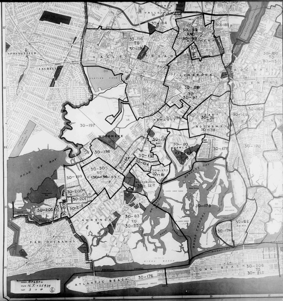
The area also has quite a history that no one really is aware of. At the back of the park, you can see some pilings in the stream that looks like a bridge was there and if you look at the aerial pictures, you can see that there is a right-of-way cutting through Queens and the park and conclude that the pilings were, indeed, once a bridge. This was a railroad extension called the Cedarhurst Cutoff that ran from Jamaica to Cedarhurst. It was never actually used but if you look at tax lot maps, you can see where it went and how it curved into the Cedarhurst station.
Also visible on the map are some straight lines at the far end of the golf course that could be mosquito control ditches – but they’re not. Across Hook Creek from the park, in the marsh, there are old pilings visible. These are all remnants of Harbormere/Meyer’s Harbor which seems to have been a vacation area or residential area built around the wetlands. It was all destroyed when the property was taken by eminent domain back in the 60’s to build the Nassau Expressway. That build was never really completed so all those homes were lost for no reason – a slice of history gone forever.
Building the golf course and park required the re-routing of 2 creeks – Hook Creek and Motts Creek. In a 1940-era map that I have from the 1940 Census, those creeks are visible. There have been extensive changes to that small area since the 1940’s. Much of the housing development done there was in the 60’s and there was a country club there that is now ponds and housing – with the streets having golf-related names.
Using ArcGIS Online, I had made a made with an old layer and a new layer so show how things have changed a little. I’m still trying to figure out the best way to embed this in my blog post.
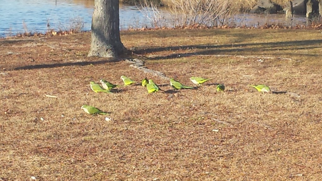
There’s a flock of green parrots that live in the field lights. They are very loud. Legend has it they escaped from a shipment to JFK and they’ve managed to adapt to our climate. They are quite the interesting site.
I have many more pictures of the park that I will try to find and do another post. I have some pics from Hurricane Sandy from early in the storm and it shows the area already flooding.
